Model and Monitor My Watershed Geospatial and Data Analysis Tools for Middle and High School Teachers

- This event has passed.
Model and Monitor My Watershed Geospatial and Data Analysis Tools for Middle and High School Teachers
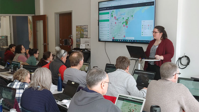
- When: Monday, March 21, 2022, 4–6 p.m. EST.
- Where: Online via Zoom video conferencing. The connection link will be emailed prior to the event.
- Audience: This online session is open to classroom teachers and school leaders in the local service regions of Stroud Water Research Center (Southeastern and south central PA) and Shore Rivers (Eastern Shore of Maryland). The first 20 teachers registered from the two specific regions (10 each) mentioned above will receive $50 stipends for their participation. Two hours of Act 48 continuing education hours are available for Pennsylvania Certified Teachers. A certificate of participation will be provided for teachers outside of Pennsylvania.
- Cost: Free, thanks to grant funders.
Are you looking for ways to help your students understand their connections to the local environment? Are you interested in incorporating technology and data analysis into your students’ environmental units? Have COVID restrictions on classroom and lab experiences limited your ability to design real-world STEM explorations using the environment as an integrative concept?
If you answered yes to any of these questions, this is the professional development opportunity for you!
Using Geographic Information Systems (GIS) and geospatial technologies to explore complex interdisciplinary phenomena, such as environmental issues, has been demonstrated as a highly effective method for both teachers and students at all grade levels to better understand impacts with the natural world.
Connecting spatial representation and explorations to local field-based inquiry further improves understanding in a tangible way while creating a sense of place and connection to the issue. Yet, knowing which GIS tools to use and how to use them to enhance an existing curriculum can initially be quite daunting to educators.
Join this professional development event to learn about the WikiWatershed Toolkit of resources, specifically Model My Watershed and Monitor My Watershed, to help you accomplish your instructional goals.
The Stroud Center and ShoreRivers have received a National Science Foundation grant (Resolving Sediment Connectivity Between Rivers and Estuaries by Tracking Particles with their Microbial Genetic Signature) which includes additional funding to support Pennsylvania and Maryland teachers in applying these workshop concepts and tools in their classrooms. Over the next few years this funding also supports pilot curricular collaborations, including school visits and field experiences. A short breakout time at the end of this webinar will include a preview of how teachers may become involved in future activities of this NSF grant.
This workshop is offered in collaboration with another grant-funded project (PSU Sea Grant and NOAA) and professional development series called “Blending MWEE and GIS for Educators: Expanding Meaningful Environmental and Watershed Literacy with Geospatial Technology Tools and Practice.” By attending this March 21 workshop you’ll join a cohort of teachers in that project for 1 of 6 parts of that workshop series. If you are interested in the full 6-part workshop series it will be offered again in the late summer or fall of 2022.Questions? Contact Steve Kerlin, Ph.D. (skerlin@stroudcenter.org or 610-910-0053) or Suzanne Sullivan (ssullivan@shorerivers.org or 857-345-0016).


Funding made possible through a generous B-WET grant from the National Oceanic and Atmospheric Administration (Grant # NA18OAR4170074)
– And –

This material is based upon work supported by the National Science Foundation under Grant No. 2049073. Any opinions, findings, and conclusions or recommendations expressed in this material are those of the author(s) and do not necessarily reflect the views of the National Science Foundation.
