
Expanding Meaningful Environmental and Watershed Literacy With Geospatial Technology Tools and Practice

Expanding Meaningful Environmental and Watershed Literacy With Geospatial Technology Tools and Practice
March 3 – April 14 EST
- What: Seven-week professional development series.
- Who: K–12 formal and nonformal educators.
- When: Tuesdays from 4-6:30 p.m. on March 3, 10, 17, 24, 31; April 7 and 14, 2026. Classroom implementation, reflections, and final survey due May 22, 2026.
- Where: Synchronous online learning via Zoom.
- Cost: Free for all participants. Pennsylvania state-certified K–12 teachers will be eligible for up to 30 hours of Act 48. Pennsylvania formal and nonformal K–12 educators may also be eligible for a stipend.
- Registration closes on Monday, February 23, 2026. Space is limited, and enrollment will be offered on a first-come, first-served basis.
- Confirmation will be sent by Friday, February 27, 2026.
- All assignments and surveys must be submitted by Friday, May 22, 2026 to be eligible for stipend payment. The post-implementation survey must be completed before distribution of Act 48 hours.
Have you been searching for the missing link that helps bridge the gap between delivering environmental content and developing environmental literacy? Do you want to help your students understand their connections to their local environment but are limited by established curriculum sequences? Have residual COVID-19 restrictions on classroom, lab, and field experiences limited your ability to design real-world STEM explorations using the environment as an integrative concept? If you answered yes to any of these questions, this is the professional development (PD) opportunity for you!
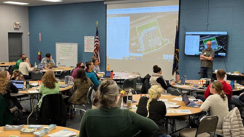
Using geographic information systems (GIS) and geospatial technologies to explore complex interdisciplinary phenomena, such as environmental issues, has been demonstrated as a highly effective method for teachers and students to better understand connections within the natural world at all grade levels.
Connecting spatial representation and explorations to local field-based inquiry further improves understanding in a tangible way while creating a sense of place and connection to the issue. Yet, knowing which GIS tools to use and how to use them to enhance a new existing curriculum can initially be quite daunting to educators.
In this PD experience, you will learn to:
- Identify which GIS tools to use in an environmental or watershed literacy instructional unit that will be appropriate for your instructional grade level.
- Integrate and adapt these tools into your classroom instruction.
- Share how GIS tools can be used to identify environmental issues within your district’s watershed boundaries.
- Investigate environmental issues within and outside your watershed boundaries.
- Identify which classroom practices and GIS tools can be used for both place-based learning and expansion into the regional watershed and environmental literacy inquiries.
Program Details
We are seeking K–12 educators in Pennsylvania to participate in an innovative professional development series designed to enhance educators’ understanding and implementation of GIS tools, watershed inquiry, and environmental literacy in their classroom practices.
The PD structure includes 15 hours of synchronous instruction and 15–30 hours of asynchronous assignments. Participants are required to do the following to be eligible for the stipend and the full allotment of Act 48 credit hours:
- Complete the entire professional development sequence.
- Complete and submit all course assignments.
- Complete the pre-course, post-course, and post-classroom implementation surveys.
- Design and implement an inquiry-based unit plan which utilizes select GIS tools within seven weeks of course completion.
Questions? Contact Tamara Peffer, tep205@lehigh.edu