Halls, J.N., S.H. Ensign, and E.K. Peck. 2025. Remote Sensing 7(18): 3130.
Permalink/DOI (Open access)
Abstract
Tidal wetlands are essential for coastal resilience, biodiversity, and carbon storage; yet, many are increasingly vulnerable to sea-level rise due to insufficient sediment supply. This study presents a national-scale, GIS-based model that quantifies riverine inorganic sediment contributions to tidal wetland accretion across over 700,000 coastal catchments in the contiguous United States.
By integrating datasets from USGS, NOAA, and USFWS, the model calculates sediment yield, thickness, and accretion balance, enabling comparison with current sea-level rise projections. Results reveal significant regional disparities: the Northeast and Midwest exhibit higher sediment accumulation, while the Pacific and Southeast show widespread sediment deficits. Spatial statistical analyses identified clusters of high and low sediment supply, highlighting areas of resilience and vulnerability.
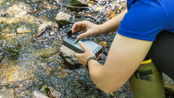
A total of 93 field sites confirmed the model’s ability to distinguish between riverine-dominated and mixed-source sedimentation regimes. These findings underscore the importance of riverine sediment in sustaining wetland elevation and inform where non-riverine sources may be critical. The model’s outputs have been shared with coastal planners and stakeholders to support local decision-making, conservation prioritization, and adaptation strategies.
This work demonstrates both the challenges and fruitfulness of harmonizing disparate national datasets into a unified framework for assessing wetland vulnerability and provides a scalable tool for guiding coastal resilience planning in the face of accelerating sea-level rise.