By Diane Huskinson
A newly constructed wetland designed to reduce flooding downstream of White Clay Creek is showing promise. “We had our first flooding event since the project was finished, and the data look good. It clearly helped hold some of the water from that flood,” says Melinda Daniels, Ph.D. “Of course, we will need to collect more data to conclusively quantify the wetland’s impact.”
Because of flooding caused by Hurricane Sandy, the National Fish and Wildlife Foundation provided Stroud Water Research Center with a $3 million grant to reduce flooding across the 1,800-acre White Clay Creek watershed by 40 percent.
Flooding Impacts Public Safety, Economy
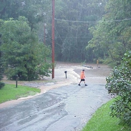
Flooding of Spencer Road at Stroud Water Research Center during a storm in 2003.
The new wetland was constructed downstream of Spencer Road in Avondale, Pennsylvania, an area that floods regularly, contributing to hazardous road conditions, as well as bridge and other infrastructure damage.
Daniels, the principal investigator for the project, says, “This is typical of the entire Brandywine-Christina watershed. For example, the local school district will cancel school during big floods because the buses have to cross these bridges; they just wouldn’t be safe to cross. It’s more than an inconvenience: There is a public safety and economic impact from flooding. It’s a real problem, and it’s because of land cover changes.”
From Beaver Meadows to Farmland

Photo: Lindsey Krause, Flickr, Creative Commons
Historically, this heavily farmed region would have been a mosaic of mostly bottomland hardwood forests with some open wetlands and beaver meadows. “Of course, we don’t want to get rid of our farms because we need to eat, and they provide economic and cultural value,” says Daniels.
“This project seeks to reduce flooding and secondarily improve the health of aquatic ecosystems by restoring the hydrology of the watershed without changing the land cover all that much.”
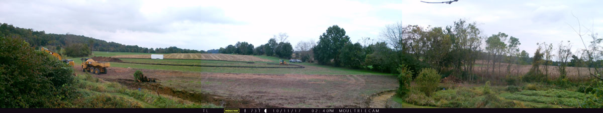
Princeton Hydro designed the wetland and brought in subcontractor RiverLogic Solutions to undertake its installation last fall. The area designated for the wetland was narrow, so the team excavated some of the buildup of sediments within the floodplain, as well as part of the hill slope to widen the floodplain and lower its surface to make room for as much storage as possible.
Planted densely with native wetland plant seeds and plugs, the new wetland area will take time to reach its full potential in terms of flood reduction.
New Wetland Slowly Releases Water After Storms
During a storm when White Clay Creek rises, the wetland fills first before the stream spills over its banks and floods the actual floodplain surface. Then, after peak flood conditions have passed, the wetland slowly releases the water, which it has naturally purified by absorbing nutrients such as nitrogen and phosphorus.
Daniel says, by reducing nutrients and contributing organic matter, wetlands enhance freshwater ecosystems. “Rivers and streams that are connected to wetlands are highly productive — in other words, healthy — ecosystems with lots of fish and biodiversity.”
As part of the Hurricane Sandy project, the Stroud Center also expanded the riparian buffer and put in level-lip spreaders to control stormwater runoff.
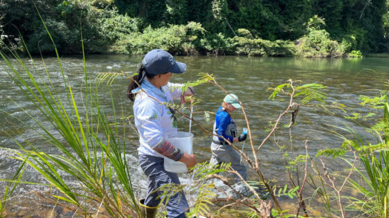
Monitoring of the wetlands effectiveness will continue for two more years with funding provided by the Pennsylvania Department of Environmental Protection’s Growing Greener program.