By Scott Ensign. This article originally appeared on EnviroDIY.org, Stroud Water Research Center’s community website for do-it-yourself environmental science and monitoring.
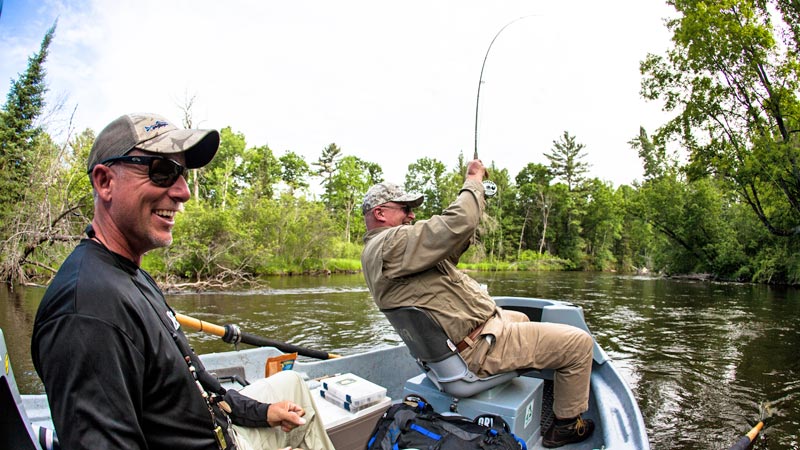
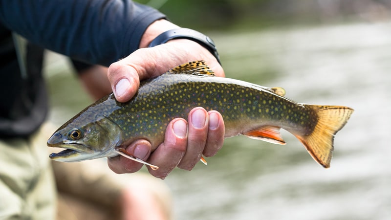
It was a good day for brown trout in the Manistee River. The hot July weather in northern Michigan had pushed the water temperature up into the low 70s. That pushed oxygen levels down, so the trout needed to stay calm and not stress themselves with too much activity. As they hovered deep in a scour hole a fishing boat passed by and continued downstream. No flies would tempt them to the surface that day with a fight that could put them dangerously close to exhaustion.
The fisherman is Ed McCoy, and his decision not to target those trout was made with help from real-time water temperature data from an EnviroDIY monitoring station. When water temperature exceeds 68 degrees, Ed switches his guided fishing trips to target small mouth bass, pike, and other fish which aren’t as sensitive to the low oxygen levels that warm water brings.
He used to make this decision on-site after arriving at the river with his boat in tow, measuring water temperature and then potentially having to drive to a different part of the river to target different fish.
Now, Ed can check the water temperature on Monitor My Watershed before leaving home: “It allows us to make appropriate decisions remotely on where and when to fish.”
Extra driving would be one thing if he was on his own time, but Ed is a guide for Mangled Fly, and he wants to maximize the time his clients spend on the water fishing. Mangled Fly runs over 500 guided trips per year, and the having water data at their fingertips allows advanced planning that saves Ed and his clients valuable time. It also showcases proper stewardship of the resource to clients. Ed and the other guides at Mangled Fly share their data-driven decision-making process with their clients and encourage catch-and-release fishing.
The EnviroDIY monitoring station also helps Ed and other guides determine where to fish based on the depth of the river. Because he knows the river like the back of his hand, he can translate the water depth at the monitoring station to the depth at all the productive fishing spots on the river. Knowing when he should take a boat and when he should bring waders is critical for trip planning.
But the water data isn’t just for short-term planning; the long-term record of water quality captured by the monitoring station could help river stewards and stakeholders identify emerging threats to the river from pollution and land use practices.
Ed says that the EnviroDIY monitoring station is “an important decision-making piece of equipment” for Mangled Fly, and he would like to install two more on the Manistee River.
They also use real-time data from the USGS, but that station is too far downstream to inform many of their operations.
The idea of monitoring the Manistee came up during a fishing trip with members of Trout Unlimited (TU), and with financial help from the Elliott Donnelly Chapter of Trout Unlimited in Chicago, Illinois, the monitoring station became a reality. The installation was led by Jake Lemon (@jlemontu-org on EnviroDIY.org), TU’s Eastern Angler Science Coordinator, along with 13 other EnviroDIY monitoring stations across north and western Michigan since 2019.
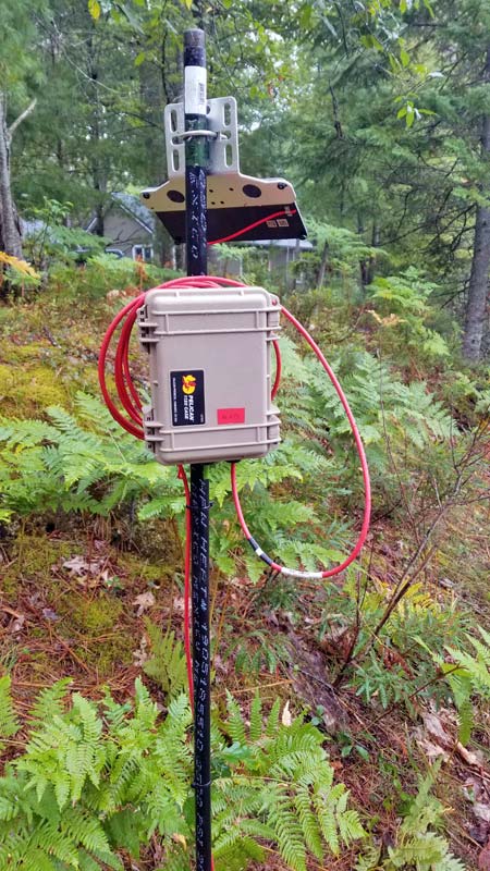
Trout Unlimited and Mangled Fly teamed up with a local landowner to site the EnviroDIY monitoring station where the landowner could keep an eye on it. Ed says that beyond routine cleaning of the sensors the monitoring station has been fairly low maintenance. They did have to add a larger solar panel to compensate for the shady summertime conditions. But Ed isn’t complaining about the shade because that’s what keeps brown trout thriving during the heat of summer.
Explore the WikiWatershed Toolkit
EnviroDIY is part of WikiWatershed®, Stroud Water Research Center’s web toolkit designed to help citizens, conservation practitioners, municipal decision-makers, researchers, educators, and students advance knowledge and stewardship of fresh water. Help resources for all the tools listed below are available on WikiWatershed.org.
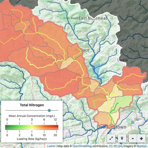
Model My Watershed® is a professional-grade web app that lets you analyze geospatial data, model storms, and compare conservation or development scenarios in a watershed.
Runoff Simulation is an animated tool that allows users to learn how land use and soil together determine whether rainfall infiltrates into the soil, runs off into streams, or is evaporated and transpired by plants.
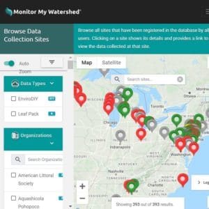
Monitor My Watershed® is a data-sharing portal that lets you discover environmental monitoring data from multiple sources and share your monitoring data with the world.
EnviroDIY is a community of do-it-yourself enthusiasts sharing open-source ideas for environmental science and monitoring. EnviroDIY data can be streamed to Monitor My Watershed.
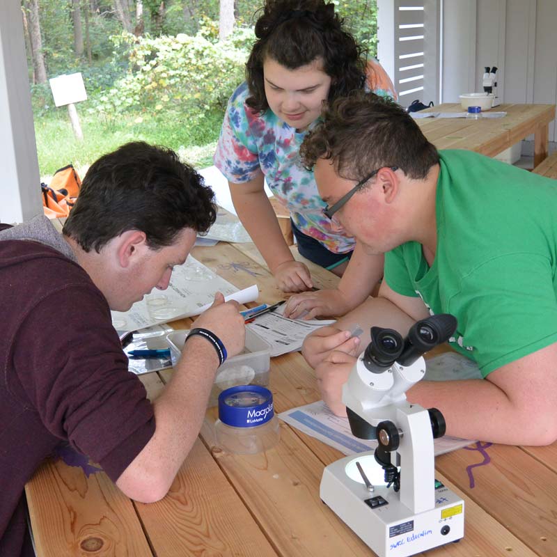
Leaf Pack Network® is an international network of teachers, students, and citizen monitors using tree leaves and aquatic insects to determine the health of their local stream and understand its ecology.
Macroinvertebrates.org is a resource designed to help citizen scientists identify common freshwater macroinvertebrates, often used as indicators of stream health.
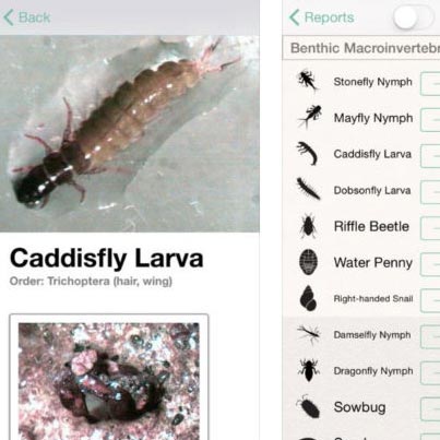
Water Quality Mobile App is a water-monitoring data-collection and learning tool designed for use by educators and their students, citizen scientists, and researchers.
The newest tool in the WikiWatershed Toolkit is launching soon — stay tuned!

