Stroud Water Research Center is pleased to announce a new collaboration with NASA DEVELOP. A highly competitive 10-week program, DEVELOP pairs early career researchers with organizations using NASA Earth science information to address environmental or policy issues.
A team of four NASA DEVELOP participants at the Goddard Space Flight Center in Maryland will work with the Stroud Center this summer to build on a project to analyze water quality in the National Capital Region Network (NCRN) for the National Park Service. Principal Investigator Diana Oviedo Vargas, Ph.D., leads the NCRN project. Postdoctoral Associate Daniel Myers, Ph.D., and NCRN Program Manager Liz Matthews, Ph.D., oversee the NASA DEVELOP collaboration.
The DEVELOP team will use NASA satellite data to examine long-term changes in land cover, climate, and hydrology in the region, adding to the Stroud Center’s analysis of water quality trends in national park streams, including predictions about future changes in the NCRN. Findings will inform park management decisions.
Stay tuned to learn more about this exciting project!
Meet the NASA DEVELOP Team

Xavier A. Garcia Lopez is a dedicated geoscientist from Puerto Rico with a master’s in environmental sciences and a bachelor’s in geology. His interest in addressing environmental challenges and promoting effective water management and conservation strategies motivates him in his work in water quality research, inland aquatic ecosystem restoration, geologic hazards, and geospatial analysis. Beyond work, he enjoys spending time with family; collecting rocks, minerals, and fossils; and exploring new places, including on his beautiful island home.

Haydee Portillo graduated from Virginia Tech with a bachelor’s in physics. While an undergraduate, she interned for the Southern California Earthquake Center, where she developed an interest in geographic information systems and their applications. Her current passions are in health and air quality; she is also interested in interdisciplinary research in water resources and climate. This is her second term as a NASA DEVELOP participant; her first term focused on irrecoverable carbon reserve management in Peru and Bolivia. In her free time, she enjoys playing guitar, crocheting, and reading.
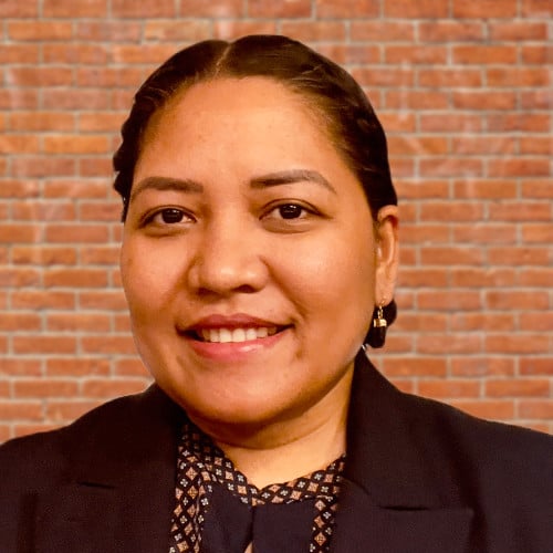
Divina Lade has a bachelor’s in marine biology from Xavier University – Ateneo de Cagayan in the Philippines, as well as a master’s in geographic information science from Florida State University. She is currently affiliated with the Apalachee Regional Planning Council in Tallahassee, Florida, as GIS coordinator. She is working to become a well-rounded and collaborative leader in research and the environmental and urban planning field by leveraging technical skills, people skills, and project management skills for the greater good of both people and planet. Outside work, she enjoys spending time outdoors flying her drone to capture sunrises and sunsets. She is an FAA-certified drone pilot.
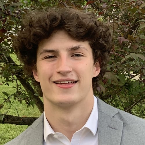
Zach Kinloch is a second-year student at the University of Maryland, College Park, where he is studying geographical sciences with a concentration in geospatial data science. His interest in geographic information systems began during high school, when he was a part of his county’s GIS technology program. In addition to his academic interests, he enjoys being outside and playing sports and trivia games.