
Hundreds of millions of Americans visit national parks each year. From Joshua Tree to Yellowstone to Acadia, these parks represent the diverse plants, animals, and scenic beauty of the United States, and they offer managed public spaces for outdoor activities like hiking, boating, and spelunking. To protect these spaces, the National Park Service relies on inventory and monitoring networks that divide hundreds of parks throughout the country into 32 eco-regions.
Stroud Water Research Center is working with one such network to monitor fish populations and stream habitat and provide data for making informed conservation decisions. The National Capital Region Network (NCRN) collects ecological data from national parks in Virginia, Maryland, D.C., and West Virginia and includes two of the top 10 most visited parks nationwide: George Washington Memorial Parkway and Chesapeake & Ohio Canal National Historical Park.
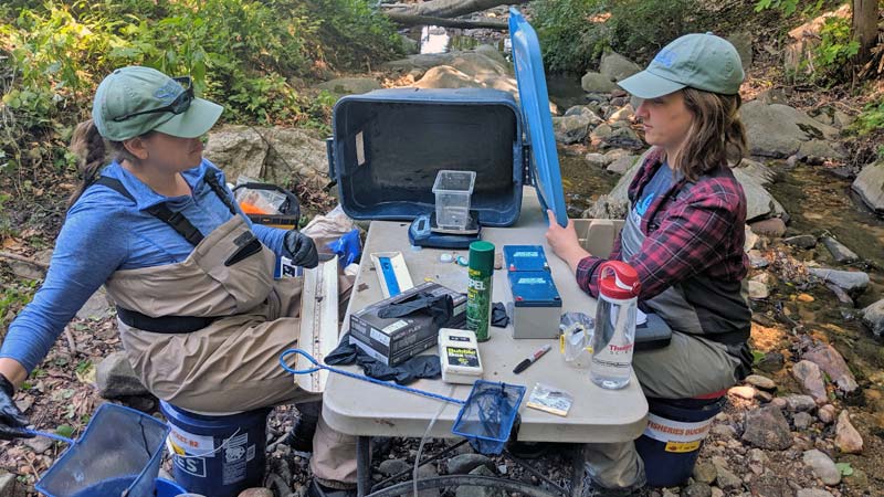
Under a new grant from the National Park Service, Diana Oviedo Vargas, Ph.D., will lead the Stroud Center’s analysis of 15 years of water quality data from NCRN to identify long-term trends, such as those related to climate change impacts. Her team will also evaluate the effectiveness of the network’s current monitoring methods and provide recommendations for how to best use its data.
“We are really leaning on Stroud to provide the aquatic ecology piece, to help us put data into context and advance our understanding of watershed health,” said Liz Matthews, a program manager and ecologist with NCRN.
“This is a part of the world that has rapidly urbanizing landscapes, even a two-hour drive outside of D.C. So that’s happening all around our parks, and that certainly affects their water resources,” Matthews said, adding that with good data, park managers can better manage the natural resources within their parks. She explained that in cases where part of a park’s watershed is beyond its borders (and therefore, its jurisdiction), park managers can share what they have learned from the data with neighboring land managers and look for opportunities to work together on conservation efforts.
Want to learn more about the National Park Service Inventory and Monitoring Program? Check out the video “Why We Monitor.”