By Scott Ensign
Scientists aren’t in the business of making predictions; their business is producing new knowledge that explains how the natural world works. One way they test that knowledge is to forecast a future condition and evaluate their success as the future unfolds.
But sometimes they intentionally push the envelope of forecasting too far into the future to be a useful test and focus instead on exploring what can be learned from the differences between forecasts made with different assumptions. You might imagine them peering through a very cloudy crystal ball to see the future while spinning the ball to see between the clouds.
The crystal ball we’re using is a web app that models how water, sediment, nitrogen, and phosphorus move across and underneath the earth’s surface.
It’s called Model My Watershed®, and when used at the right scale and for the right purposes, its numeric predictions of water pollution are accurate and practical for calculating how land use and land management changes affect water quality.
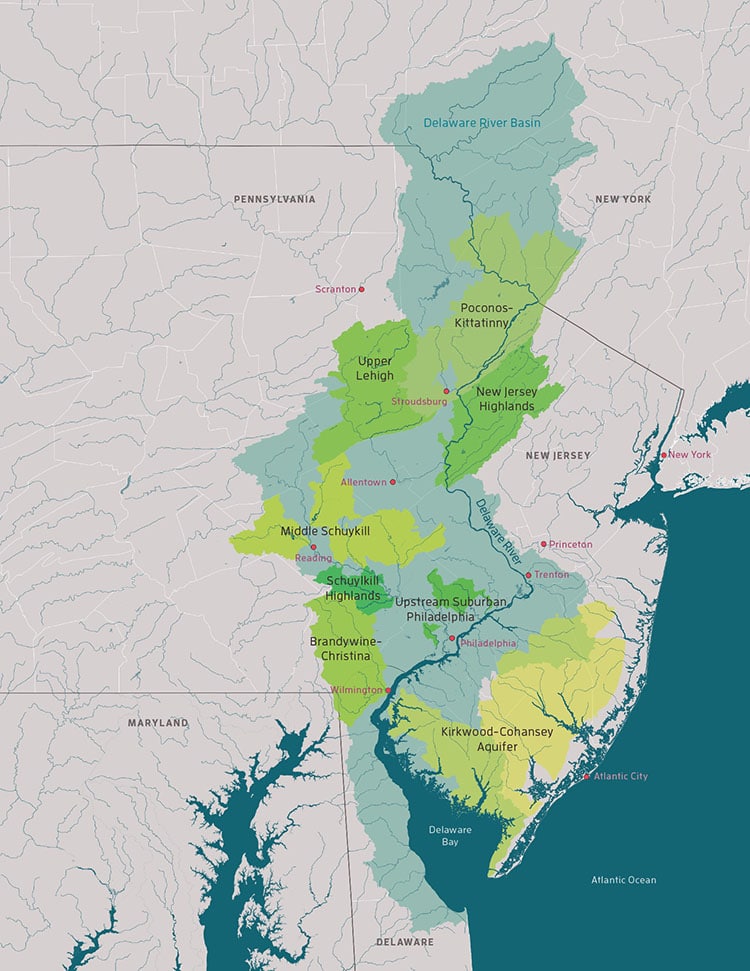
In these applications, you might consider Model My Watershed like an accountant’s trusty calculator, but a team of scientists recently pushed the model to be more like a soothsayer’s crystal ball, forecasting the future of streams across the Delaware River Basin at the end of the 21st century.
Shippensburg University professors Claire Jantz, Ph.D., and Timothy Hawkins, Ph.D., generated the end-of-the-21st-century predictions of land development patterns, temperature, and precipitation, and then Stroud Water Research Center scientists Scott Ensign, Ph.D., and David Arscott, Ph.D., fed those predictions to Model My Watershed.
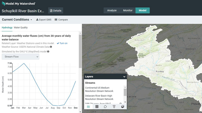
You can view the resulting effects on water quality for any area within the Delaware River Basin using Model My Watershed.
For example, by the end of the century streamflow in the Schuylkill River basin is predicted to be nearly 10% higher during the winter and 30% lower during the summer due to a moderate change in the climate.
Meanwhile, the effects of land development coupled with climate change are predicted to increase phosphorus load to the Delaware River by 13%. If development sprawl outside of urban centers and climate change are left unchecked, the phosphorus load to the Delaware River would increase 19%.
Forecasts of river water flow and its pollutant loads 60 years from now using Model My Watershed should be taken with a grain of salt, but independent studies support the forecast that streams will flow higher in the winter and lower in the summer.
The bigger lesson to be learned from the model is how land-use change and climate change together magnify future impacts to stream water quality. These are lessons that can guide research — and ultimately, actions — that can mitigate environmental degradation.
Learn More
You can explore the scenario mentioned in this article using this Model My Watershed example. If you are new to Model My Watershed, you can check out the help resources.
Model My Watershed is part of WikiWatershed®, a web toolkit designed to help citizens, conservation practitioners, municipal decision-makers, researchers, educators, and students advance knowledge and stewardship of fresh water. This Stroud Center initiative also includes:
- A Runoff Simulation that shows how land use and soil together determine whether rainfall infiltrates into the soil, runs off into streams, or is evaporated and transpired by plants.
- EnviroDIY™, a community of do-it-yourself enthusiasts sharing open-source ideas for environmental science and monitoring.
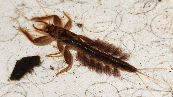
- Leaf Pack Network®, an international network of teachers, students, and citizen monitors investigating their local stream ecosystems.
- Monitor My Watershed®, an online data portal that lets you discover and map monitoring data and share and compare your EnviroDIY and Leaf Pack Network monitoring data with the world.
- The Water Quality mobile app for recording water-monitoring data and enhancing learning activities for students and citizen scientists. Available for Apple and Android devices.
- Macroinvertebrates.org, an innovative resource for aquatic insect identification to support citizen science activities.