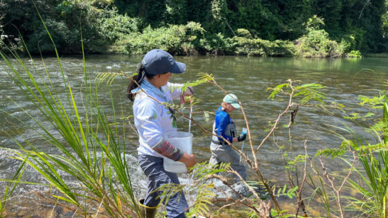
A summer intern with Azavea combined GIS data collected by Stroud Water Research Center scientists from above and below the surface of the White Clay Creek to generate a complete terrestrial and aquatic map covering two kilometers and quantified the spatial distribution of stream geomorphological characteristics across a transition between more than 150-year-old woods, more than 20-year-old woods, and a meadow.
Funded by: Azavea
Principal Investigators: William H. Eldridge, David B. Arscott, and Anthony K. Aufdenkampe
Collaborators: Angela Sakrison, Tamara Manik-Perlman, and Daniel McGlone (Azavea)
Project Year: 2012