-
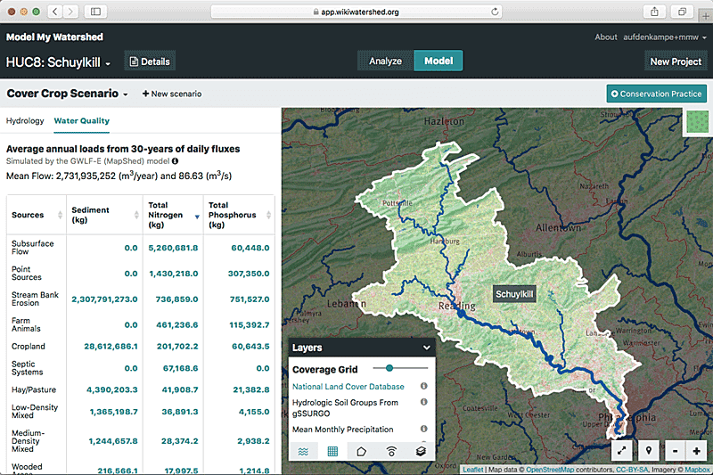
Model My Watershed offers rapid visualization of watershed data, advanced geospatial analysis capabilities, and science-based predictions of human impacts on stormwater runoff and water quality.

 Stroud Water Research Center
Stroud Water Research Center
Stroud Water Research Center
|
Sunday
|
Monday
|
Tuesday
|
Wednesday
|
Thursday
|
Friday
|
Saturday
|
|---|---|---|---|---|---|---|
|
0 events,
|
0 events,
|
0 events,
|
0 events,
|
0 events,
|
0 events,
|
0 events,
|
|
0 events,
|
0 events,
|
0 events,
|
0 events,
|
0 events,
|
0 events,
|
0 events,
|
|
0 events,
|
0 events,
|
0 events,
|
1 event,
-
Model My Watershed offers rapid visualization of watershed data, advanced geospatial analysis capabilities, and science-based predictions of human impacts on stormwater runoff and water quality. |
1 event,
-
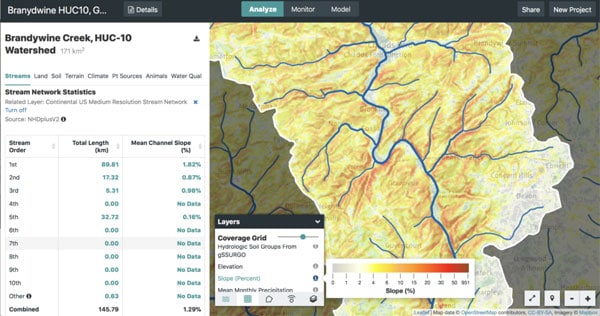
This webinar will demonstrate the WikiWatershed toolkit and describe ways that it can be used to support NGSS-ESS implementation. |
0 events,
|
0 events,
|
|
0 events,
|
0 events,
|
0 events,
|
0 events,
|
0 events,
|
0 events,
|
0 events,
|
|
0 events,
|
0 events,
|
0 events,
|
0 events,
|
0 events,
|
0 events,
|
0 events,
|